FARNET
Fisheries Areas Network
FLAG Factsheet

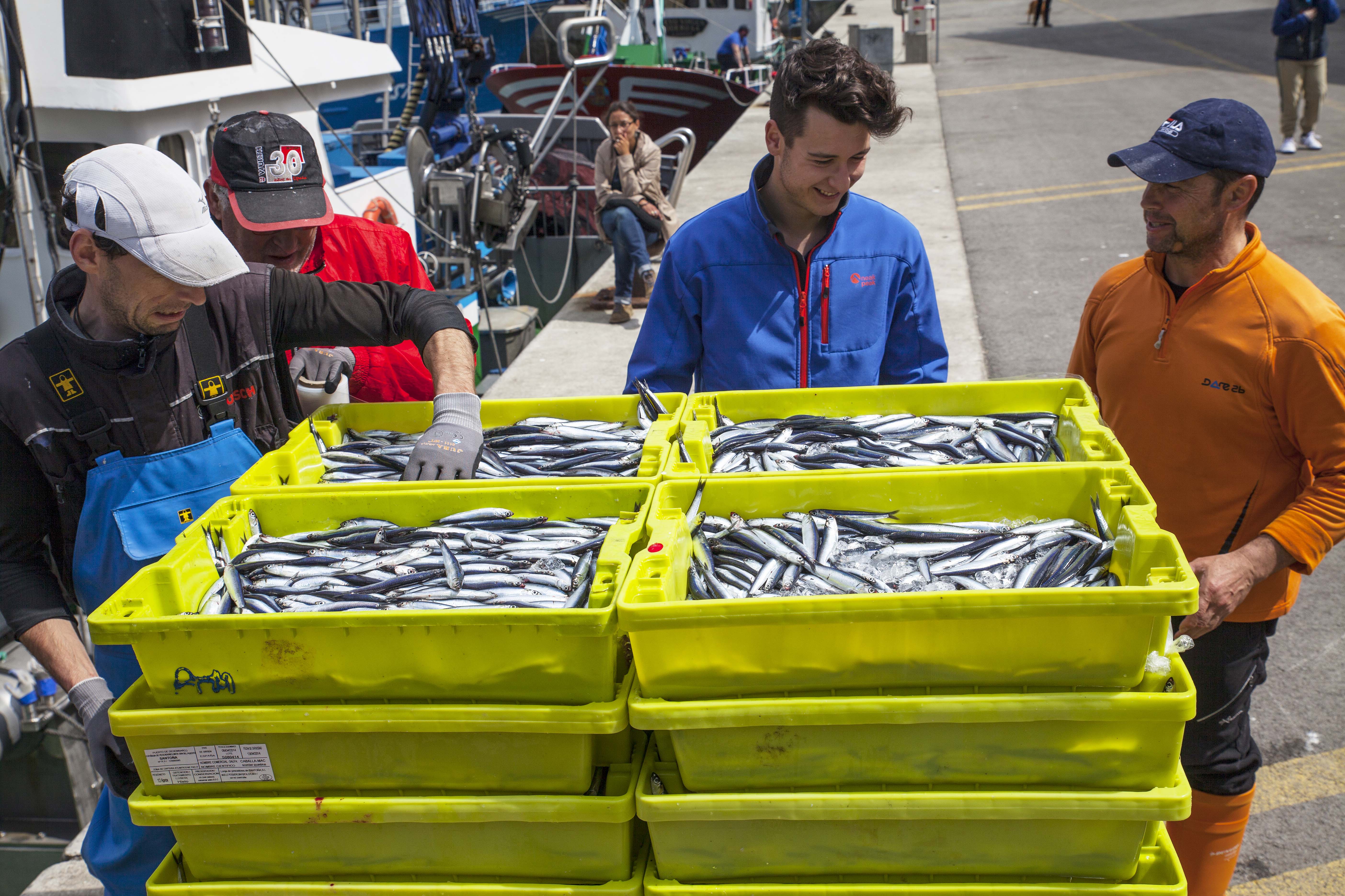
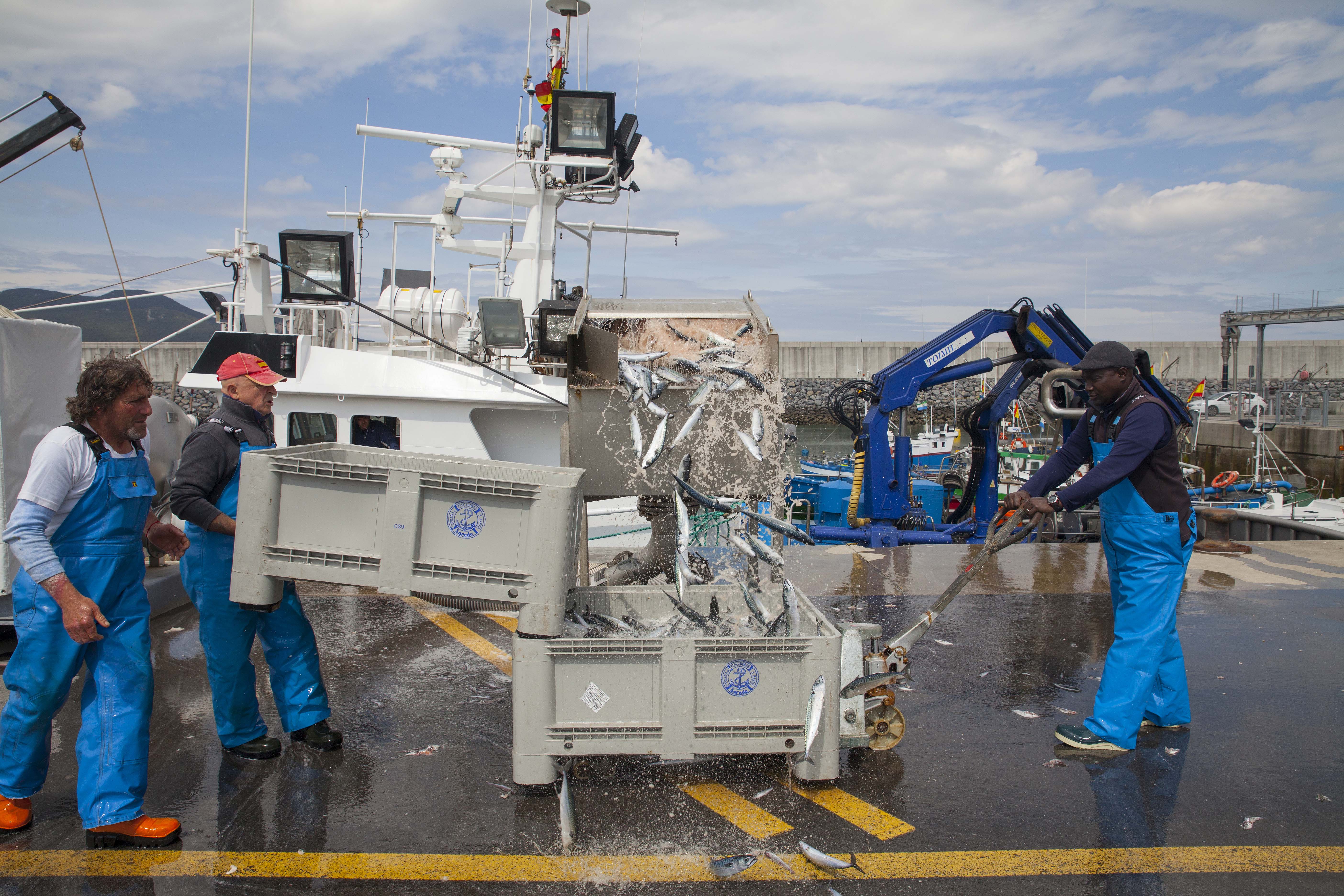
The FLAG area covers the municipalities of Castro Urdiales, Colindres, Laredo and Santoña, along the eastern coast of Cantabria. The county boasts a rich landscape of wetlands with canals, river deltas and muddy plains, including the Santoña Natural Park.
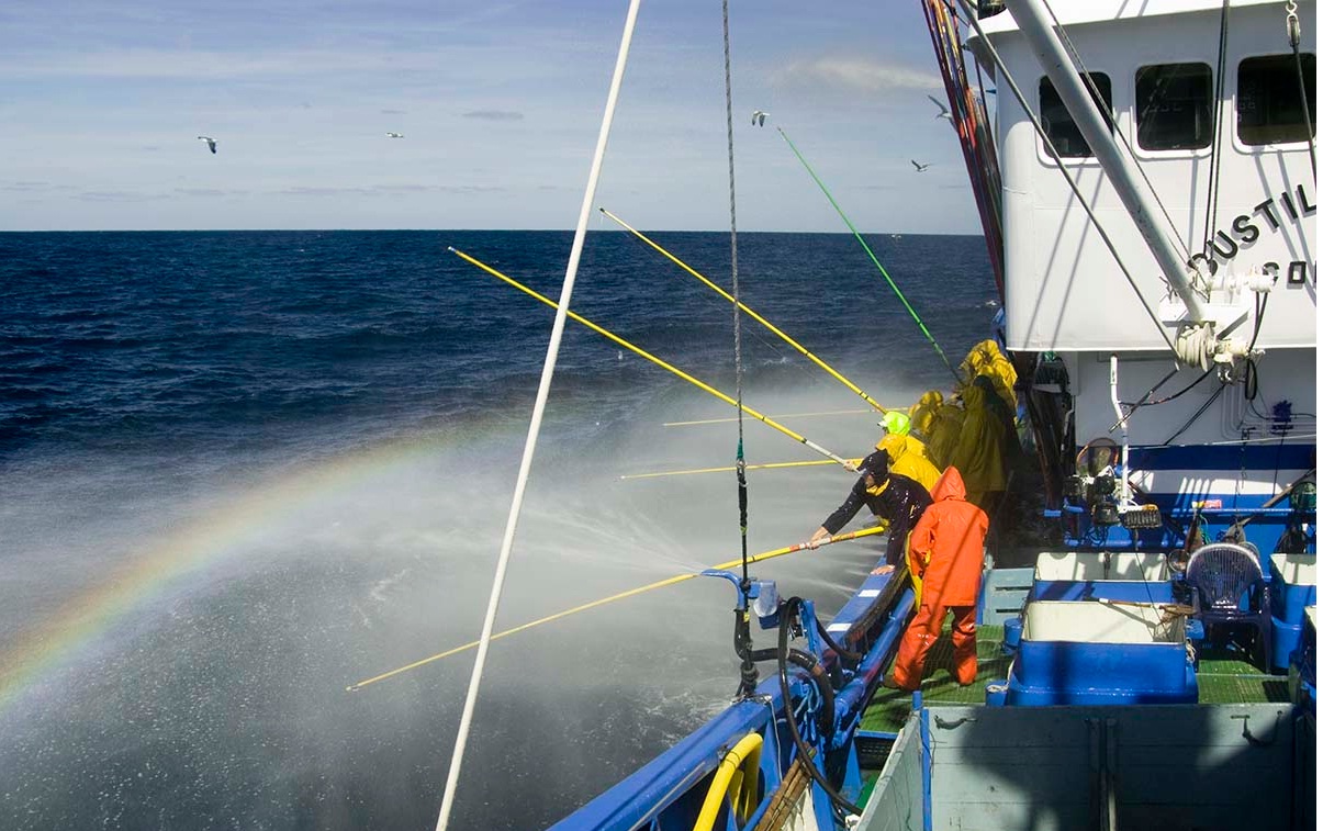
Fisheries is very present in the area’s identity and the FLAG area accounts for 75% of the region’s landings. Tourism and gastronomy are also important thanks to its long beaches and good provision of leisure infrastructure, restaurants etc.
Video of the FLAG's area and strategy for further details
Natural Park of Santoña, Victoria & Joyel (RAMSAR, SPA & SCI); the River Agüera covering 15 Km2 or 11% of the FLAG area; IBA (Important Bird Area) of the Oriental Costera Mountain
In order to attain “smart, green and intelligent growth” with the fisheries sector at its heart, the FLAG has laid out the following four strategic priorities:
Regional
Calls for projects will be opened at least once a year and candidates will have one month to present their projects. The most recent call can be found on the FLAG website.
The FLAG has experience in micro credit and has worked closely with MicroBank of La Caixa to support access to micro credit for local would-be entrepreneurs.
It is interested in cooperating around actions to add value to the products of sustainable fisheries, including through links with tourism and gastronomy, in particular in areas of the Cantabrian coast and the Atlantic arc with similar types of fishing.
Although the FLAG has no formal links with other CLLD groups, the area borders with a LEADER LAG and there is informal coordination of the two groups’ strategies. The FLAG is also in contact with the other LAGs from the region as well as other FLAGs from around Spain.
The fisheries catching and processing sectors, including:
The public sector
Economic partners
Civil society