FARNET
Fisheries Areas Network
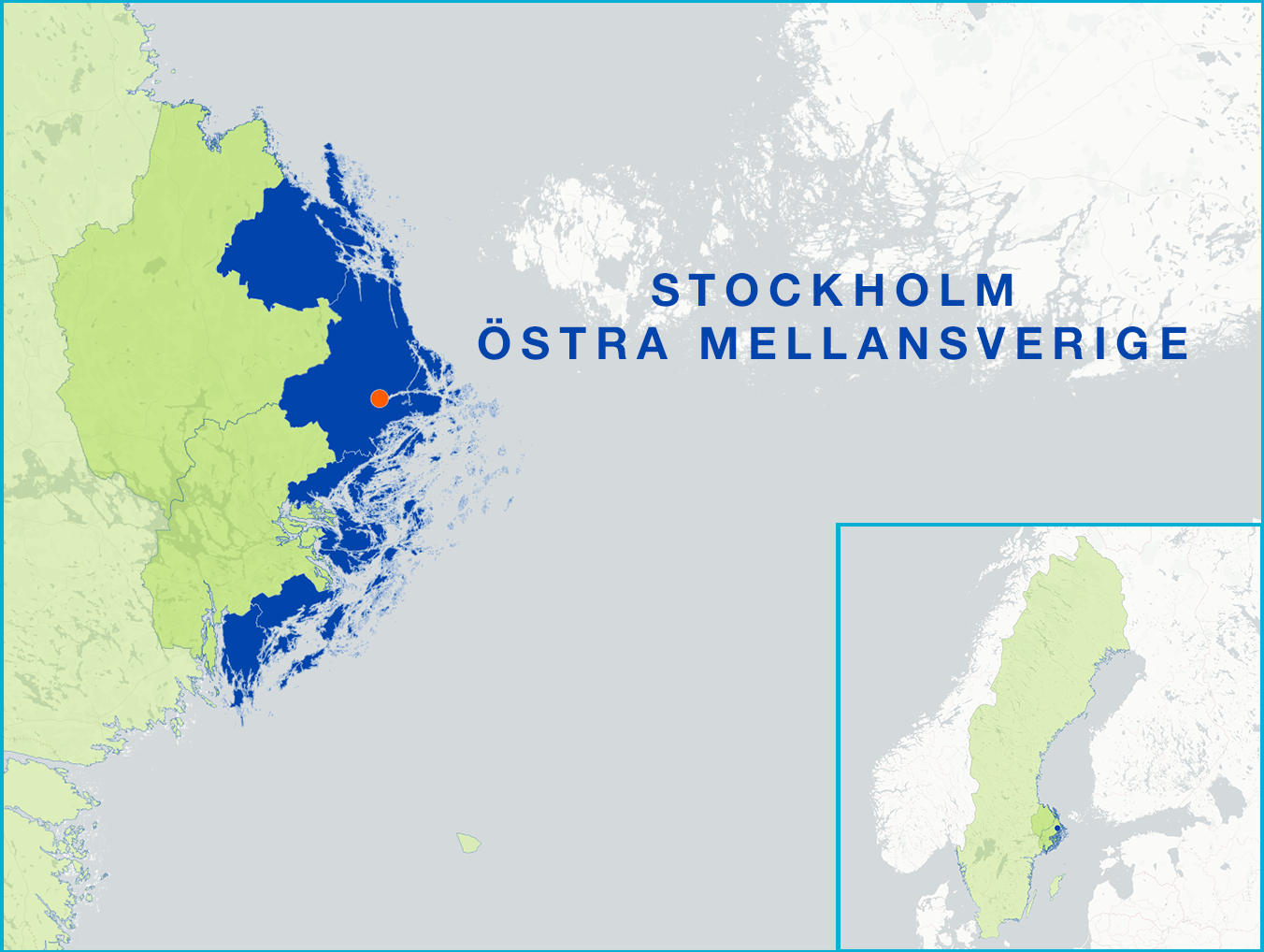
FLAG Factsheet
The area stretches over a cluster of some 30,000 sparsely populated islands and a small portion of the mainland’s countryside. It forms part of the commuter belt of Sweden’s capital city with the resulting high property prices, frequent ferry crossings and other commuter traffic that this can bring.
As a result, biodiversity is at risk and fish stocks in the archipelago are declining. This has led to there being very few local fishermen left. Fish caught locally is sold at auction in the west coast instead of locally, so new supply chains are needed for products from environmentally sound aquaculture and local fisheries.
The growing average age of fishermen in the area coupled with the lack of younger fishermen is another challenge for the sector.
Despite this, the archipelago has high potential for sustainable tourism development, building on cultural and natural assets. There are several Natura 2000 and Baltic Sea Protected Area to be found here.
There are 25 Natura 2000 sites and Baltic Sea Protected Areas and they include Gräsö-Singö Archipelago, Stora Nassa-Sv.Högarna, Bullerö-Bytta, Nåttarö, Ålö-Rånö and Villinge Boskapsö
The strategy envisages:
Local (Östhammar, Norrtälje, Österåker, Värmdö, Haninge and Nynäshamn municipalities)
Projects can be presented on an ongoing basis. The FLAG has four or five meetings per year where the steering committee makes decisions on prioritising project applications.
The development strategy foresees cooperation projects focusing mainly on local food production, distribution, consumption and supply chains.
Exchange of experience and expertise in order to strengthen local fishermen and local aquaculture as well as transnational cooperation is also envisaged.
The FLAG shares a legal structure with LEADER Stockholmsbygd, as well as a single local development strategy under a multi-funded approach. Three out of the four strategic objectives are relevant for the EMFF (tourism, locally produced/refined/consumed food, sound environment).