FARNET
Fisheries Areas Network

Environment

  • East Liguria FLAG

    13/09/2017
    - FLAG Factsheet
    The East Liguria FLAG area covers all coastal municipalities of the provinces of Genoa and La Spezia, and is characterised by a geographical continuity and economical homogeneity based on micro and small businesses (mostly engaged in the trade and tourism sector).
  • Lanzerote FLAG

    12/09/2017
    - FLAG Factsheet
    Lanzarote, also known as “the island of volcanos”, is made up of seven municipalities and a small archipelago to the north of the island (Chinijo Archipelago). The whole area has been classified as a UNESCO Biosphere Reserve.
  • Noroeste de Cádiz FLAG

    12/09/2017
    - FLAG Factsheet
    The Noroeste de Cádiz FLAG area consists of five municipalities: Trebujena, Sanlúcar de Barrameda, Rota, Chipiona and Puerto de Santa María. Fishing activities (trawling, seining, shell-fishing) are widespread throughout the area where there are several fishing ports and catches are sold at fish auctions daily.
  • Fuerteventura FLAG

    12/09/2017
    - FLAG Factsheet
    The island of Fuerteventura is the second largest of the Canary Islands and includes the 4.8Km2 islet of Lobos. It has a low, sandy coastline resulting from intense erosion. The activities that traditionally occupied the local population (agriculture, including cattle farming, and fishing) now provide employment to scarcely 1.2% of the population, while three quarters of jobs are linked to the service sector, and in particular tourism.
  • Granada Coast FLAG

    12/09/2017
    - FLAG Factsheet
    The FLAG area’s coastline is very rugged, formed by steep cliffs and hillsides. Its proximity to Africa and the Sierra Nevada Mountains protects the area’s coastline from the cold winds of the north, thus creating a subtropical microclimate. The region has approximately 320 days of sun per year and an average temperature of 20°C. It is one of the most densely populated regions in Andalucía
  • Almeria Coast FLAG

    12/09/2017
    - FLAG Factsheet
    The Almería Coast FLAG is situated in the eastern part of the Almería province with an area spanning approximately 1 500km2. The region has longstanding fishing tradition but in recent years, the industry has been in decline.
  • Malaga FLAG

    12/09/2017
    - FLAG Factsheet
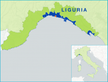
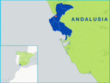
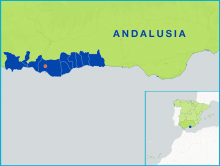
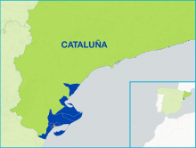
    The FLAG area comprises six coastal municipalities which all have a strong marine and fishing tradition and culture. The area, like most in the coastal enclaves of the Mediterranean, has a large population. The services industry, particularly the tourism sector, accounts for a high percentage of businesses, jobs, and sales in the area.
  • La Marina FLAG

    12/09/2017
    - FLAG Factsheet
    La Marina FLAG area consists of seven municipalities on the Mediterranean coastal area of Alicante which are Benidorm, Calp, El Campello, Dénia, Xàbia, Teulada and La Vila Joiosa. The municipalities belong to the three coastal regional provinces of La Marina Alta, La Marina Baixa and y L´Alacantí.
  • La Plana FLAG

    12/09/2017
    - FLAG Factsheet
    The La Plana FLAG area covers the provinces of the three coastal regions of Baix Maestrat, Plana Alta and Plana Baixa. Fisheries and aquaculture only account for 5% of employment. Over a five-year period, fishing activity has reduced, and the number of active fishing vessels has decreased by more than 10%.
  • Ebro FLAG

    12/09/2017
    - FLAG Factsheet
    The Ebro FLAG operates on the Mediterranean coast, in the south of Catalonia. It borders with Aragon to the West and the region of Valencia to the south. The municipalities covered are located along the final stretch of the Ebro river, in the unique setting of the Ebro Delta. The most important port in the area is Sant Carlos de la Ràpita.