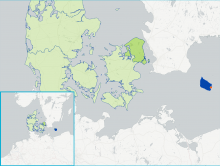
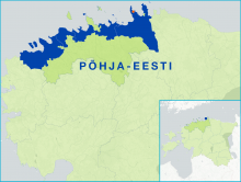
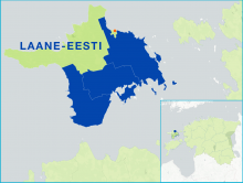
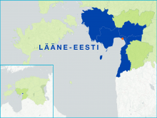
FARNET
Fisheries Areas Network

FLAG Factsheets by theme

FLAGs are partnerships between fisheries actors and other local private and public stakeholders. Together, they design and implement a local development strategy to address their area´s needs be they economic, social and/or environmental. Based on their strategy, the FLAGs select and provide funding to local projects that contribute to local development in their areas, involving thousands of local stakeholders.

  • DK210
    -

    The FLAG area covers the entire island of Bornholm, located in the Baltic sea to the east of the rest of Denmark and to the south of Sweden. The main industries on the island include fishing, dairy farming, and during the summer, tourism. The island’s heritage is characterised by crafts such as glass production and pottery, and a particularly large amount of round churches.
  • EE201
    -

    The FLAG area is located on the Northern and North-Eastern coast of Estonia. Small-scale coastal fishing of mostly flounder, perch and salmon is the main activity of local fishermen. This fish is mainly marketed directly to end consumers.
  • EE202
    -

    The Harju FLAG area covers 530km of coastline along the Gulf of Finland and features numerous peninsulas and bays. Tallinn, the capital of Estonia, is situated centrally in the area and offers local producers access to a substantial market. Tallinn also draws a relatively young workforce to the area and offers wide-ranging tourism opportunities.
  • EE203
    -

    The coast of Läänemaa is sparsely populated, has a low relief and a coastline that is split sharply. Fishing has traditionally been mostly small-scale but in recent years has benefited from the expansion of several ports in the area.
  • EE204
    -

    Hiiumaa is a beautiful un-spoilt island in the Baltic sea to the west of Estonia which can be reached in about 90 minutes by ferry from the mainland. The FLAG area consists of Hiiumaa island and a number of small islets surrounding it which together form the county of Hiiu. This county is divided into five municipalities, of which four are part of the FLAG.
  • EE205
    -

    The Saaremaa FLAG covers the islands of western Estonia in Saare county, with exception of Hiiumaa which has its own FLAG. The biggest islands in the Saaremaa FLAG area are Saaremaa, Muhu, Ruhnu, and Abruka ja Vilsandihe.
  • EE206
    -

    Located in the south-west of Estonia, the FLAG area is situated around the Pärnu Gulf. The largest of the Estonian counties, Pärnu geographically covers 10.6% of the Estonian mainland and a total of 177 islands; of which only two, Kihnu and Manija, are inhabited.
  • EE207
    -

    Lake Võrtsjärv is the second largest lake in the Baltic countries and the largest lake in Estonia. The lake is covered with ice, on average, 130 days a year (from the end of November until mid-April). Total catches in the FLAG area have fallen in recent years which is a challenge. This is due, in large, to a decline in consumer demands for smaller bream
  • EE208 Lake Peipsi FLAG

    EE208
    -

    Lake Peipsi is the fourth largest lake in Europe and Estonia's largest FLAG. The Peipsi fisheries areas include Lake Peipsi, Lake Pihkva, Lake Lämmijärv, nine lakes in Vooremaa and the coastal areas of Suur-Emajõgi downstream from the city of Tartu.
  • ES201
    -

    The FLAG area covers 11 municipalities in the south of Galicia and is bordered by Portugal to the south. It includes Vigo, the biggest city in Galicia and the largest fishing harbor in Spain. There are 12 other ports in the area mainly in the north (with 10 auctions and 4 marinas). In the north, fishing is an important activity, whereas to the south, shellfish activities, processing and canning.