FARNET
Fisheries Areas Network
FLAG Factsheet
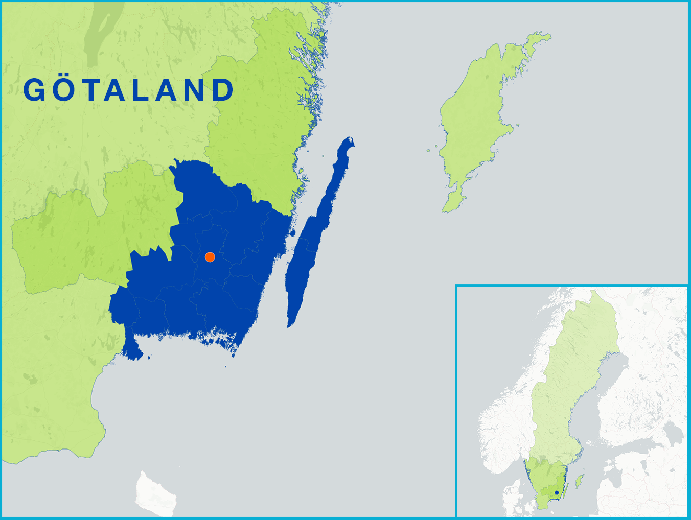
The FLAG area is situated in the southeast of Sweden and features numerous lakes, streams, coasts and seas, forming a unique development area. Fishing in the region includes the entire Åsnen lake and the waters in southern Kalmar and Öland where fisheries are predominantly small-scale. The Åsnen lake covers a surface area of 150km2 and has close to a thousand small islands; the lake is a prominent location for sports fishing where rainbow trout is a common catch.
Challenges for the area include the low added value of local fisheries products. Fishermen do not have the infrastructure or equipment to scale up and grow their operations. Education and the transfer of traditional fisheries knowledge and skills are also challenges for the FLAG and area.
The FLAG territory has 10 protected areas, some of which are part of the Natura 2000 network.
The FLAG’s local development strategy is focused on the following objectives:
National and regional.
Project examples and ideas for the FLAG include:
The FLAG makes specific calls for projects which are published on the FLAG website
The FLAG cooperated with other FLAGs in the Baltic on issues associated with managing seals and cormorants. The FLAG has expertise in freshwater fisheries, angling management and spawning site protection, and is willing to share its expertise and cooperate on projects nationally and internationally.
The FLAG is part of the Sydost LEADER LAG. The two organisations share a territory, a legal structure, several board members and have a common local development strategy which is multi-funded. The FLAG and LAG cooperate with other CLLD groups (FLAGs and LAGs) in Estonia, Finland and Germany.
FLAG members come from a wide range of backgrounds including representatives from different associations and organisations, several representatives from the private, non-profit and public sector, politicians, representatives from the local municipalities water associations and fisheries associations.