FARNET
Fisheries Areas Network
FLAG Factsheet

The FLAG area comprises the coastal zones of counties Kerry and Limerick including the southern bank of the estuary of the River Shannon, Ireland’s longest river.
The FLAG region has a relatively weak urban structure with just ten settlements of 1,500 inhabitants or more; however, there are many smaller settlements in the region. Kerry is one of the most sparsely populated counties in Ireland with the most rural and peripheral areas in the county experiencing declining populations over the last 20 years. This is especially true of the coastal regions.
Challenges in this area include an ageing population and high unemployment particularly amongst young people. The increasing average age of those involved in the fisheries sector is also seen as a problem.
There are 23 Special Areas of Conservation (SACs) and 10 Special Protection Areas (SPAs). Kerry also has eight Natural Heritage Areas (NHAs), a marine NHA located at the Skelligs, designated to protect ecologically important habitats, and a collection of six nature reserves.
The strategy recognises the contraction in population, the decrease in younger people coming into fisheries and aquaculture and the lack of opportunity for people living in coastal communities. It also recognises the need to stimulate economic activity, create jobs and support the identity and resilience of coastal communities.
FLAG South-West’s strategy aims to support projects under these three themes:
The full development strategy can be found here.
National
Development of tourism based activities and of piers and harbour infrastructure on a multi stakeholder basis.
Applications are invited on an open call basis and are to be selected by FLAGs for funding on a quarterly basis, or until funds are exhausted.
Please see the website for more details.
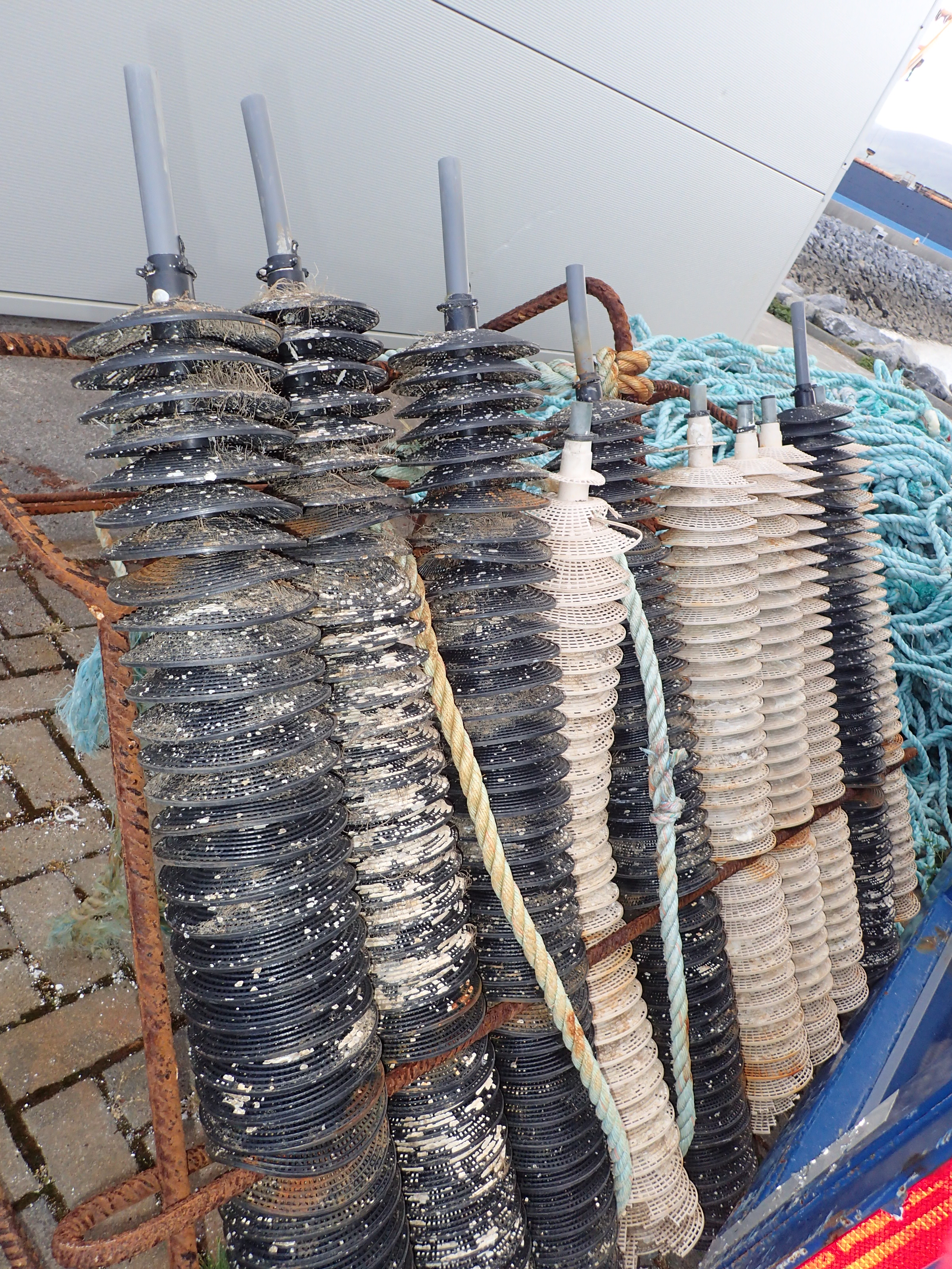
The FLAG has experience in tourism (aquariums and educational tourism ventures) as well as in fishing and aquaculture (including hatcheries). In terms of cooperation it is particularly interested in technology transfer for fisheries and aquaculture, transnational fisheries governance and small scale coastal fisheries.
The FLAG shares its territory with two LEADER LAGs in the area- the North and East Kerry LAG and the South Kerry LAG. Whilst maintaining its own distinct legal structure, it cooperates informally with these groups and both LAGs are represented on the board of the FLAG (and vice-versa).
FLAG members include four local fisheries and shellfish co-operatives, a local fisheries forum, the Tralee Oyster Fishery Society and the mid-Kerry Drift Net Association.
Public sectors representatives include the Irish Language regional authority), the local LEADER group, the Local Enterprise Office, the Kerry Local Community Development Committee and the Mara Beo aquarium.