FARNET
Fisheries Areas Network
FLAG Factsheet
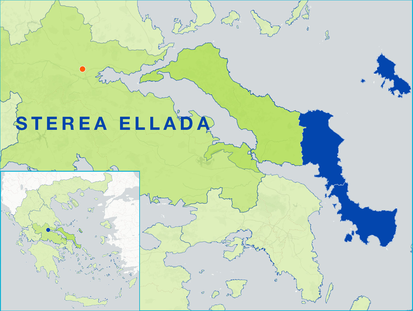
The FLAG area is a sub region on the island of Evia which is geographically located in the epicentre of the Greek Mainland.
The main feature of the area is the proximity with the Athens Metropolitan region and the Chalkis Urban concentration both of which are less than 90 minutes’ drive away.
There are two main types of fisheries in the area:
The implementation of a local strategy aims to enhance the potential of fish farming supporting the creation of small food processing units and restructuring the supply chain.
The main challenges in the area are: sustainable development, increasing competitiveness, job creation and improving the quality of life.
There are five Natura 2000 areas which cover about 586.86 km2 or 37.96% of the area.
The main objectives of the FLAG strategy consist of:
National
The approved multi funding CLLD programme has a total public budget of €5 700 000 (€3 950 000 for EAFRD and €1 750 000 for EMMF).
Project ideas include
The FLAG has experience in preserving the coastal maritime environment.The FLAG is participating in one cooperation project “Maritime Environment-Coastal Threats and Fishery”.
The FLAG is multi-funded. It receives funding both from the EMFF and EARDF. The FLAG shares a legal structure with the local LEADER LAG and their territories overlap. They also have a common Programme Management Committee. This allows them to share strategies. The FLAG also cooperates with other FLAGs in the area and throughout Greece.
The FLAG membership includes the region of central Greece, the municipalities of Evia, the regional union of the municipalities, the association of workers of Evia, forest cooperative of Evia and other companies and development agencies.


