FARNET
Fisheries Areas Network
FLAG Factsheet
--ARCHIVED as of 31 January 2020--
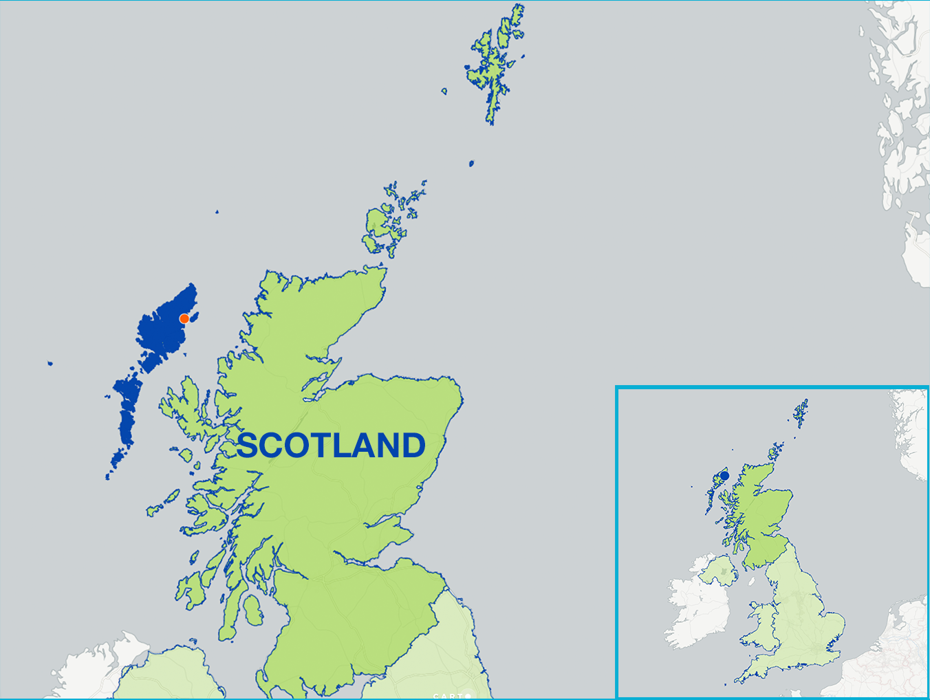
The Outer Hebrides is a chain of more than 100 islands and skerries (small rocky islands) located about 70 kilometres north west of mainland Scotland, of which 15 are inhabited. The Outer Hebrides Fisheries Area is defined using the Comhairle nan Eilean Siar Local Authority area which is has the same boundaries as many other organisations including the Outer Hebrides Inshore Fisheries Group. Although the population of the islands is concentrated in Lewis (71%) small fishing communities are spread across all the islands from the Butt of Lewis to Barra.
Larger centres of activity including value added processing are located in Stornoway (Lewis), Kallin (North Uist) and Ardveenish (Barra) with some of the most fisheries dependent areas in Scotland in the Uists and Barra.
The main challenges include an ageing fishing industry structure (both in terms of participants and infrastructure), fuel costs (in particular as a result of the remoteness of the islands) and static shellfish prices.
A further challenge is geographic and governance peripherality (i.e. decisions are made remotely in manner which fails to understand their impact and effect on island communities). In addition there is an over reliance on a small range of shellfish species landings, sparsity of population and a declining and ageing population. The area also suffers from a loss of young people from the islands and a lack of new entrants to industry.
However, the islands increasingly benefit from a growing tourism sector and is a popular destination particularly for marine tourism.
The Outer Hebrides has 59 protected areas in or related to the marine environment – the areas protect features such as breeding/foraging seabirds and waders, reefs and sandbanks, intertidal mudflats and sandflats and large shallow inlets and bays.
Examples of these are:
The main objectives of the strategy are to increase fisheries area employment and competitiveness, develop alternative employment, increase onshore added value activity and increase younger industry participant career progression.
Specifically the strategy will support the development of sustainable fisheries management plans (including data collection on stock assessment and effort and accreditation), strengthen onshore added value and supply chain development, encourage alternative fisheries community business opportunities and infrastructure development and build small fisheries communities capacity to drive their own change.
National – Scottish Government
The Outer Hebrides FLAG and LEADER LAG operate under an integrated Local Development Strategy at a high level with separate decision making bodies for EMFF and LEADER. All animation and administration costs are covered by the ‘lead fund’ EAFRD. Further details are unconfirmed at this stage.
The FLAG will have an estimated three deadlines per year for project application and assessment.
Building on long standing historic maritime and cultural links between the islands and the mainland the possibility of joint and inter territorial co-operative projects with FLAGs in the Highland area (linking Lewis with the Ullapool and Wester Ross area, Harris and North Uist with Skye and Kyle of Lochalsh areas) and Argyll and Bute area (linking South Uist, Eriskay and Barra with the Tiree, Coll and Oban areas) will be explored and promoted.
Type of cooperation projects foreseen: Transnational
Increasing fisheries community capacity to develop environmental designation management plans – at present environmental designations are centrally imposed on communities with nominal consultation and in a manner which might fail to understand the impact and effect of those designations on communities.
It is essential that powers are devolved to local island communities in order to place them in the core of designation processes and to ensure that fisheries communities play an integral part in local management and control of that designation
FLAG has same territory and same legal structure as Outer Hebrides LAG. FLAG has 6 members who are also Outer Hebrides LAG members.
Both FLAG and LAG Managers are hosted by Comhairle nan Eilean Siar. FLAG has formal co-operation with Outer Hebrides LAG as the LAG provides administrative assistance for the FLAG.


