FARNET
Fisheries Areas Network
FLAG Factsheet
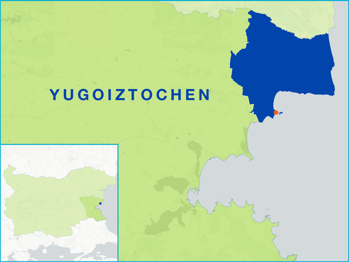
The FLAG’s territory is a coastal area which includes 1.5km of beaches and 670m of sand dunes. The dunes are not just a natural phenomenon, they are specific environmental habitat and an important part of the area’s coastal landscape with great ecological significance. The City of Nessebar is one of the oldest cities in Europe and is a UNESCO World Heritage Site. The old port of Nessebar has regional importance and is used for fishing boats and transport. The tertiary sector (tourism services) is the most significant in the local economy, supplemented by the primary one (mainly logging and fishing industry). Most of the area’s fishing catch go locally to hotels and restaurants and there are no registered and functioning fish markets, marketplaces or centres for the direct sale of fish and seafood on the territory. Angling is also widespread in the area.
Challenges include the sustainable development of tourism while protecting the region’s cultural heritage. This involves developing an infrastructure for tourism, which currently does not exist (i.e. tourism routes, museums and other attractions). Other challenges include the deterioration of the regions fishing fleets and harbours, both of which need modernisation.
There are seven protected areas in the FLAG territory, all of which are part of the Natura 2000 Network.
The FLAG’s local development strategy has the following key objectives:
Regular calls for projects will be prepared and published on the FLAG website - http://mirg-nessebar.eu
The FLAG is the only CLLD group operating in its territory. It has no links to a LEADER LAG, nor does it cooperate with the LAG informally.
The FLAG has 12 members. They include one representative from the local government, one representative from the fisheries and aquaculture sectors, and ten other private organisations (some of which are NGOs).