FARNET
Fisheries Areas Network
FLAG Factsheet
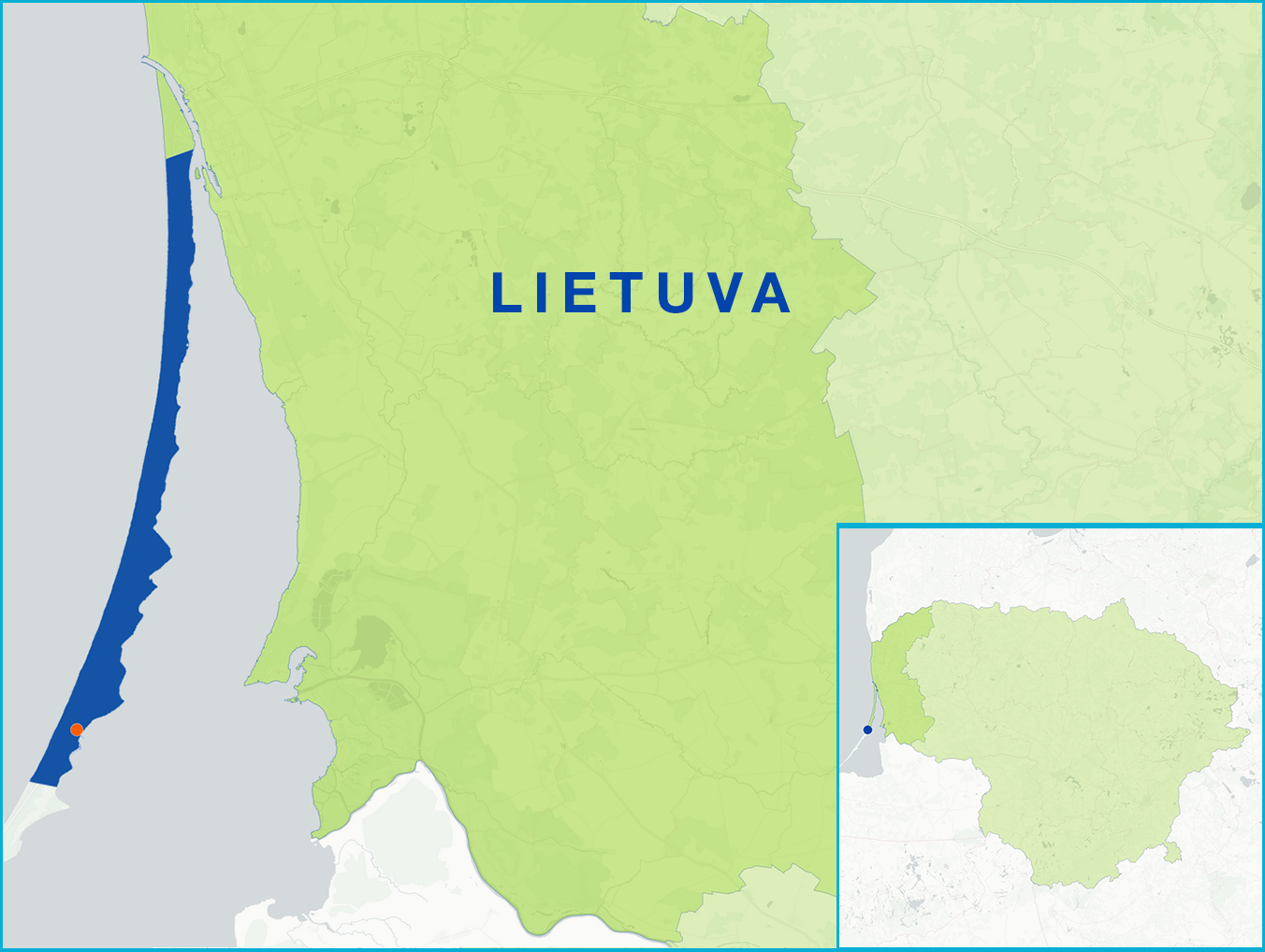
The Neringa FLAG area is located between the Baltic Sea and the Curonian Lagoon. The city of Neringa was formed in 1961 and comprises a territory of eight separately administered areas, of which the central area is Nida. The city is situated in the Curonian Spit National Park and shares both a land and water border with the Russian exclave of Kaliningrad. Fishing activities and commercial quotas are limited in the FLAG’s territory due to environmental protection requirements. There is an abundance of species in the Curonian Lagoon, many of which are fished commercially, including salmon, turbot and eel.
Challenges for the FLAG include the area’s relatively low population. Despite an increase in recent years (20% over a five-year period), the area has the lowest population in Lithuania. This combined with the protected environmental status of the area make the sustainable growth and development of tourism a challenge. Additionally, while the area’s inhabitants are distinguished for their entrepreneurship, many of the area’s businesses are small to medium size enterprises making the scaling and diversification of Neringa’s resort status difficult.
The concentration of nutrients (phosphorous and nitrogen compounds) in the Curonian Lagoon, along with poor water transparency, mean that it fails to meet the requirements of the EU’s ‘good’ water conditions. A challenge to the FLAG area is undertaking the appropriate environmental actions to rectify this problem. The Baltic Sea also has a negative impact on the Curonian lagoon, as changing sea levels are resulting in an increase in the salinity of the lagoon which is displacing freshwater fish from traditional fishing grounds and areas. Other environmental factors such as large cormorant populations in the area are also an environmental challenge for the FLAG, as the cormorants have a significant impact on local fishing stocks.
The FLAG area sits in the Curonian Spit National Park, which is a Natura 2000 protected area and a UNESCO World Heritage site.
The Neringa FLAG strategy includes the following objectives:
National
FLAG project examples and ideas will be centred around the following themes:
The Neringa FLAG will make regular calls for projects from 2018 onwards.
The FLAG has experience in the development of tourism activities, cormorant population restriction and recreational fishing. The FLAG is willing to share its thematic expertise and is interested in transnational cooperation projects related to sustainable fishing, eutrophication, and the sharing of good practices relating to the management of fishing activities in environmentally vulnerable areas.
The Neringa fisheries region FLAG is the only CLLD group established in its territory.
The FLAG has a total of 24 members. This includes six civil society representatives, 17 private NGOs and one local government representative.