FARNET
Fisheries Areas Network
FLAG Factsheet

The FLAG area consists of four municipalities (Catarroja, Silla, Gandía and El Palmar) which belong to the coastal regions of Ciudad de Valencia, La Safor and l’Horta Sud.
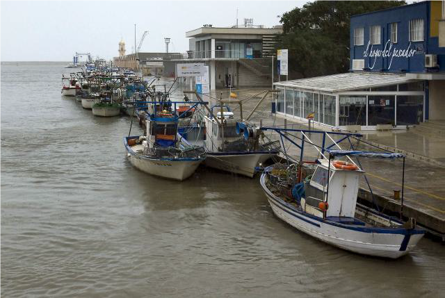
The tourism industry represents 76% of the FLAG area’s economic activity. In contrast, fisheries and aquaculture only account for 5% of the region’s total employment. Over a five-year period, fishing activities have reduced, and the number of active fishing vessels has fallen by nearly 3%. While the types and size of fishing vessels vary, many vessels are small-scale trawlers and account for almost 85% of area’s fishing activity. Common catches in the FLAG territory include anchovy, sardine, octopus, red mullet, hake and shrimp.
Socially, the fisheries sector is currently going through a difficult phase, presenting a challenge to the FLAG area. Additionally, due to the region’s economy being dominated by the service and tourism sectors – the diversification of fisheries activities is also a challenge. Particularly when trying to maintain and preserve the area’s fisheries traditions and maritime heritage.
The FLAG has several protected areas under the conservation of the Natura 2000 Network including the Safor’s dunes, the Albufera Natural Park and the Safor’s marshes.
The FLAG’s local development strategy is focused on promoting employment in the territory, generating synergies for the sustainable development of fisheries, and the preservation of the territory's heritage and resources.
More specifically, the strategy aims to:
Regional
Projects examples and ideas for the FLAG include the following:
Calls for projects are made annually and are published on the FLAG website:
The FLAG shares its territory with the local LEADER LAG. As a result, an informal cooperation exists between the two groups and several FLAG members are also members of the LAG.
La Safor FLAG is made up of 54 member organisations, including: