FARNET
Fisheries Areas Network
FLAG Factsheet
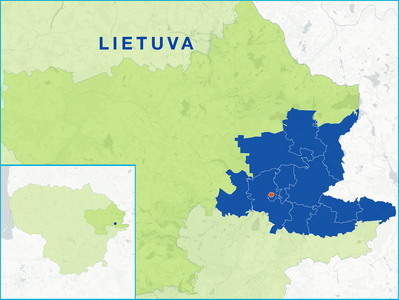
The Ignalina FLAG territory is situated in the east of Lithuania, a region characterised by its many lakes and forests. As such, it has a high potential for the development of recreational, tourism and sports activities. Lakes occupy about 7.7% of the area, forests are about 33.7%, and woodland swamps approximately 10.7%. In 1974, Lithuania’s first national park was established in the area. 28 species of fish are found in the lakes of the region, pike and perch being common catches. To the east, the territory borders Belarus.
Challenges for the FLAG area include a declining population and a level of economic development which is below the national average. High unemployment forces people to look for effective ways to improve their current situation. Often this results in them leaving the area. Additionally, the FLAG territory faces strict national regulations, making it difficult to manage watercourses, cultural heritage, and tourism facilities. As a result, the area has a below standard infrastructure (sidewalks, lighting, etc.) and unorganised public access to water bodies.
There are 89 protected areas (two nature reserves, 36 sanctuaries, 16 natural heritage sites, one national park, three regional parks, three biosphere polygons, 19 habitat protection areas and nine sites for the protection of birds).
The FLAG’s local development strategy has the following key objectives:
National
EAFRD: €1 529 578
Calls for projects are made on a regular basis and published on the FLAG’s website: http://www.irvvg.lt
The FLAG is also a LEADER LAG. The LAG-FLAG manages the implementation of a single local development strategy co-financed by the EMFF, the EAFRD and a national contribution. The board of the FLAG is also the board of the LAG.
The Ignalina FLAG has 28 members, 18 of which are representatives of civil society, nine are fisheries and aquaculture business sector representatives and five are local government representatives.