FARNET
Fisheries Areas Network
FLAG Factsheet
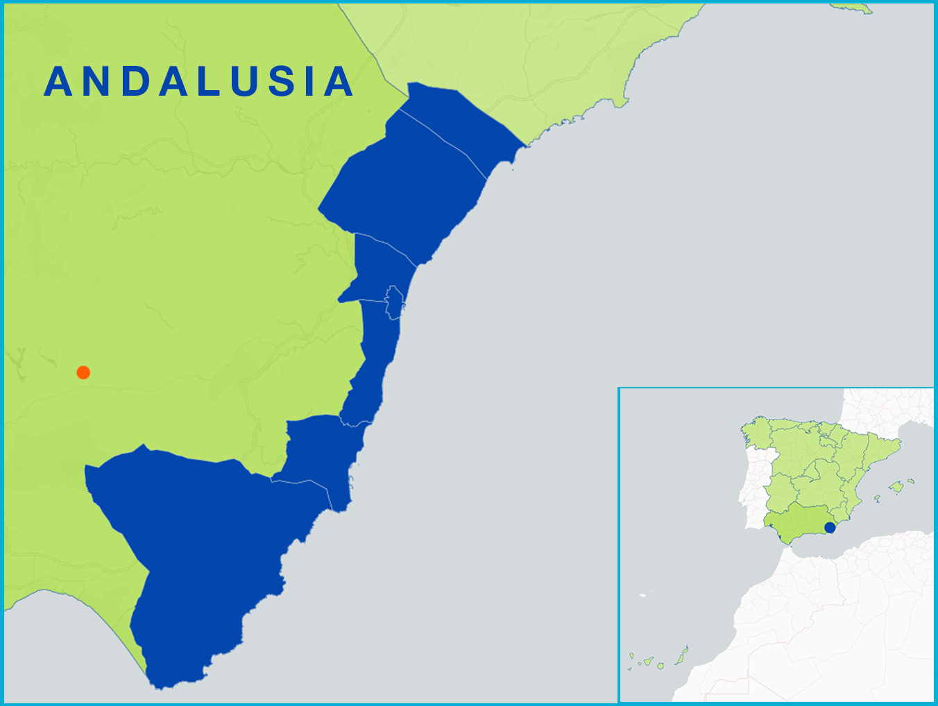
The Almería Coast FLAG is situated in the eastern part of the Almería province with an area spanning approximately 1 500km2. The region has longstanding fishing tradition but in recent years, the industry has been in decline. The area’s fishing fleet is geared specifically for red shrimp and swordfish fishing. As such, there is a strong local market for the products. Part of the fleets fishing zone is inside the marine protected area of Cabo de Gata-Níjar. As a result, nature and fishing tourism is growing, as is the valorisation of the area’s fisheries products.
A key challenge to the FLAG territory is finding ways to halt and reverse the decline of its fisheries. Diversifying and merging its fisheries with tourism in a sustainable way is also a challenge to both the FLAG and the area.
The FLAG area includes the marine protected areas of Cabo de Gata-Níjar and Isla de Alborán.
The FLAG strategy aims to:
Regional
Calls for projects are made annually and are published on the FLAG website:
The Almería Coast FLAG shares its territory with the local LEADER LAG. As a result, informal cooperation exists between the two groups. Several FLAG members are also members of the LAG.
The FLAG is made up of 56 members. This includes the town halls of Garrucha, Cuevas de Almanzora, Níjar, Vera, Almócita, Armuña de Almanzora, Urrácal, Vález Blanco, Chirivel, Los Gallardos and Bédar, the fishing organisations (‘cofradías’) of Garrucha and Carbonera, and a number of associations for employers, women, ship owners, and small-scale fisheries.


